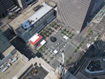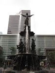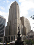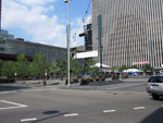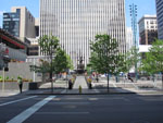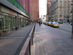
Fountain Square, located on the northeast corner of Fifth Street and Vine Street in downtown Cincinnati (map), is the physical and symbolic heart of the Greater Cincinnati region, consisting of a large public plaza that is home to the historic Tyler Davidson Fountain — often used as an icon of the city — and a venue for outdoor concerts, protests, celebrations, and other public gatherings. One block east of Fountain Square is Government Square, which currently serves as a transit mall for the city’s bus system.
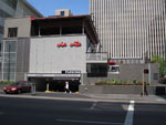
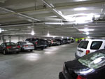
Below the Fountain Square plaza is a four-story public parking garage, accessed by vehicles via ramps from Vine Street and Walnut Street. The Metro Cincinnati project proposes using the shell of this underground structure as a major transit hub, serving as a transfer point between the Red Line and Green Line running under Fifth Street and the Orange Line and Gold Line running under Vine Street, as well as a public gateway to downtown Cincinnati for Metro riders. With the exception of five entry pavilions provioding access to the underground station, the entire station is below-grade and has minimal impact on the plaza itself.
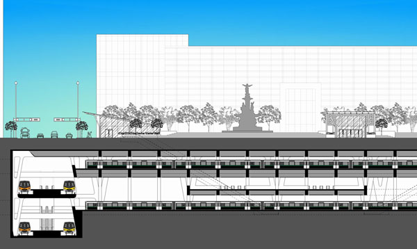
The station consists of four underground levels, with east-west tracks and north-south tracks crossing on alternate levels. Connecting the levels and providing access to train platforms are expansive concourse spaces which also serve as ticketing halls and are reached from the surface via banks of escalators and elevators. Each level of the station overlooks the levels below it, which makes wayfinding self-evident and improves visibility and security throughout the station, avoiding the “rat maze” of tunnels commonly found in underground transit facilities in other cities. With the use of glass pavers at street level, opportunities exist to bring natural daylight into the station. Reflecting pools are used to separate paid and unpaid areas of the station, avoiding the use of obtrusive solid walls or fences.
Although Fountain Square serves as the primary transit hub of the Metro Cincinnati rapid transit system, additional transfer points are located downtown at the Riverfront station (Orange, Gold, and Blue Lines), Gateway station (Orange, Gold, and Purple Lines), and the Sawyer Point station (Red and Blue Lines).
Click on an image below for a higher-resolution version.
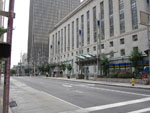
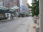
Site Photos
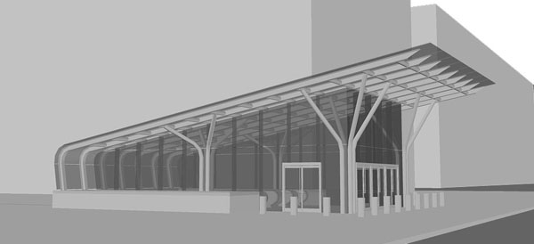
Fifth / Walnut Entry Kiosk
One of four primary entrances into the Fountain Square transit hub. Other primary entrances are located on Vine Street, Walnut Street, and at Government Square. A secondary entrance is located on Sixth Street.
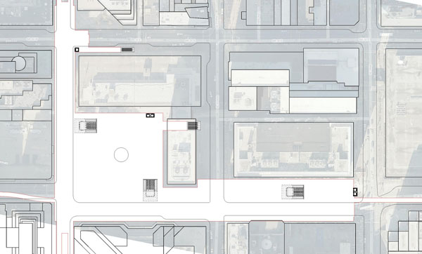
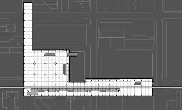
Site Plan
The lower concourse and main ticketing hall is located within the shell of the Fountain Square parking garage, below the public square itself.
Level L1 Plan
The uppermost of four levels in the station is comprised of the platform serving southbound Red Line to Alexandria trains and eastbound Green Line trains to Milford, running east-west under Fifth Street.
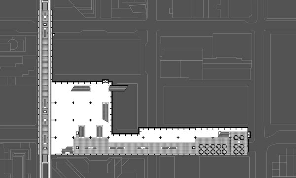
Level L2 Plan
The upper concourse and fare control area (accessed via the Government Square station entrance) is located on this level, which provides access to the Red Line and Green Line platforms. At left is the northbound platform serving Orange Line trains to West Chester and Gold Line express trains to Mason, running north-south under Vine Street. At the western end of the upper concourse are banks of escalators to the lower concourse.
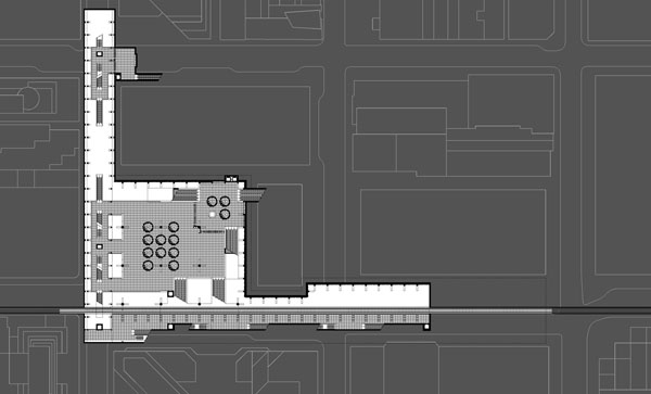
Level 3 Plan
This level contains the lower concourse and main fare control area, reached via escalators from the Vine Street, Walnut Street, and Fifth/Walnut entrances. There is also a small mezzanine and secondary fare control area to the north, reached from the Sixth Street entrance. Running east-west under Fifth Street (bottom) is the Northbound Red Line to Hamilton and the Westbound Green Line to Harrison.
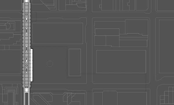
Level L4 Plan
The lowest level of the station contains the southbound platform under Vine Street, serving Orange Line trains to Florence and Gold Line  express trains to the Cincinnati – Northern Kentucky International Airport.
East-West Section at Fifth Street, facing north
Enlarged East-West Section

